In this post, we feature a contribution by Bronwyn Palmer
Here we report an interview with Kobus on GPS positioning and machine control technology.
Our early civil works project for QBuild at Drayton is giving us the chance to put our entire suite of GPS positioning and machine control technology to work. Read here how we are using it to save time and money
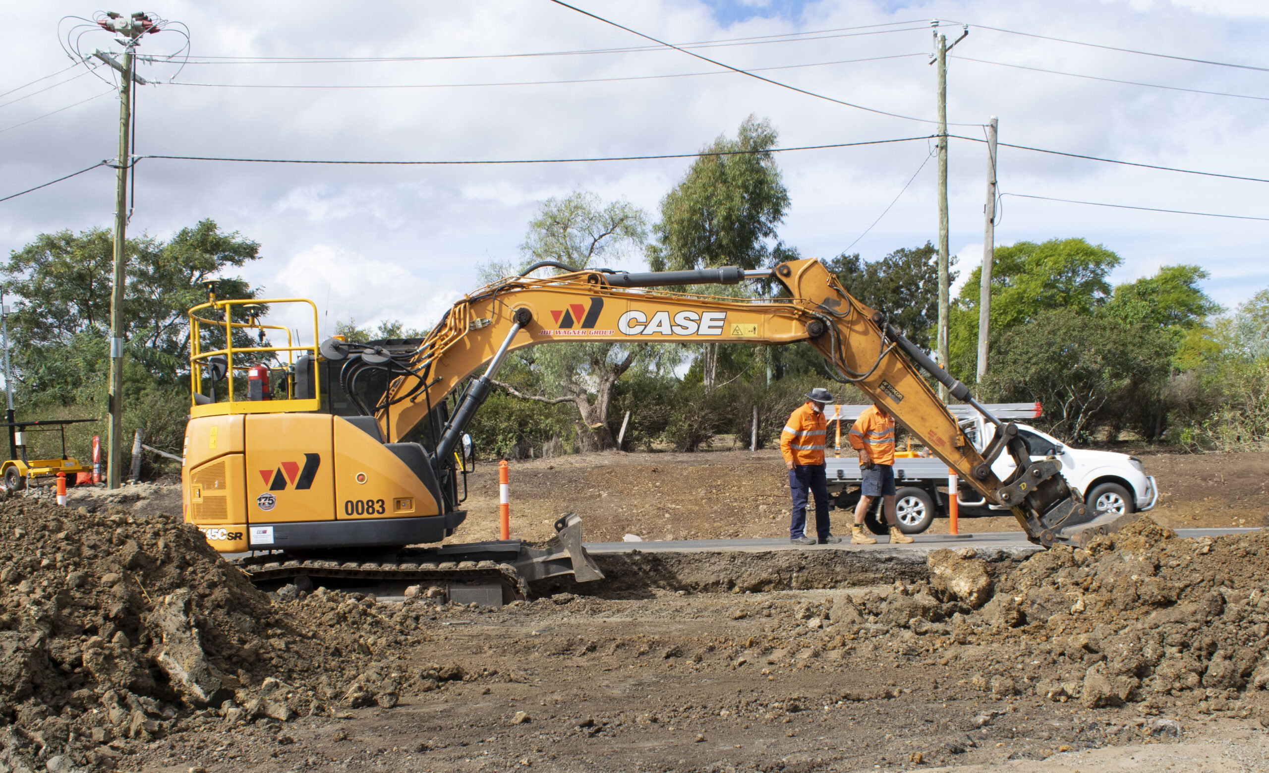
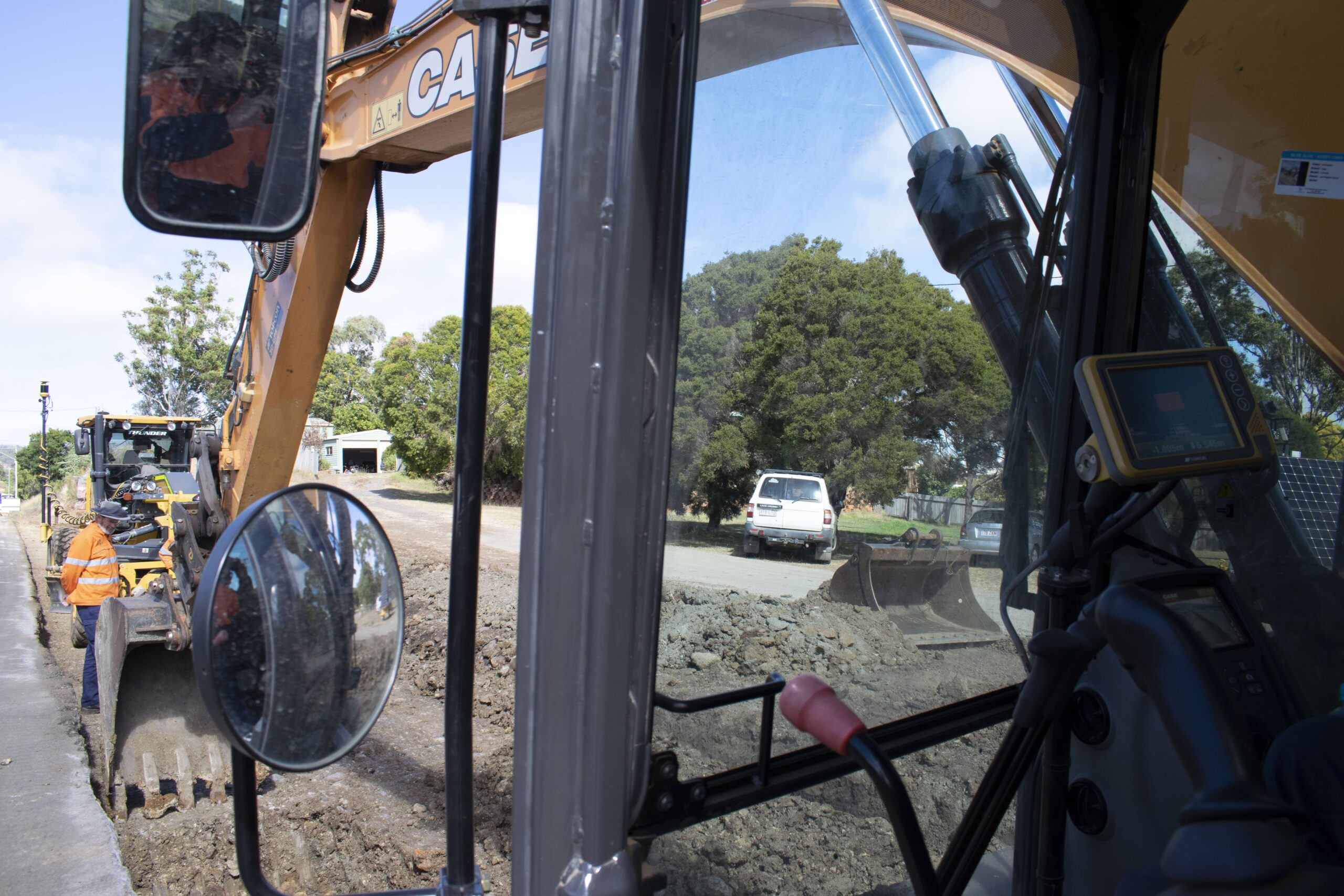
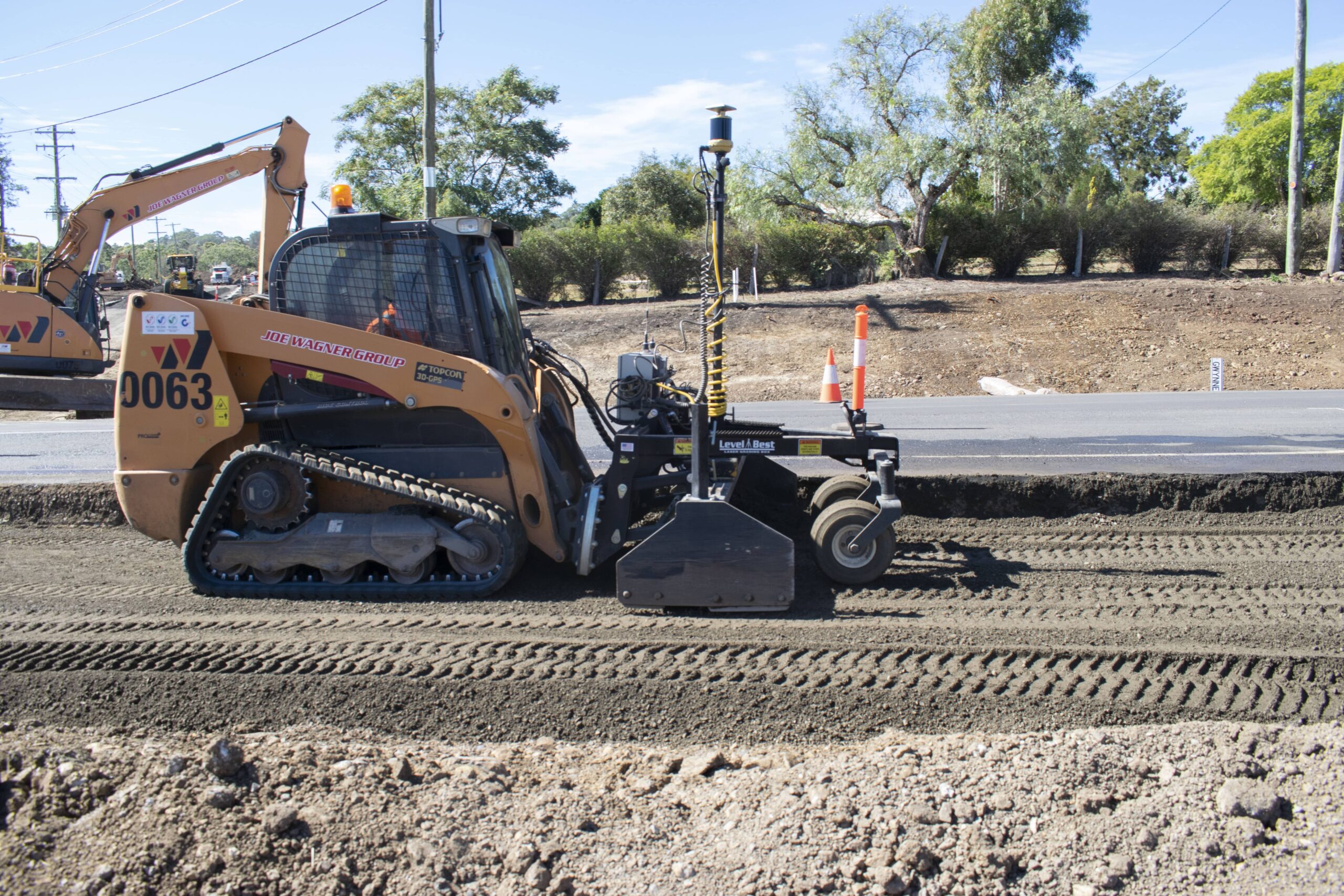
Kobus is currently utilizing GPS machine control systems in several ways on the QAS Drayton project for QBuild to provide greater efficiency and accuracy. Here are some of the ways it is being put to use on the job.
The grader uses mm GPS which links to laser sensors that not only measure horizontally but vertically. This allows them to get mm-accuracy for our road base.
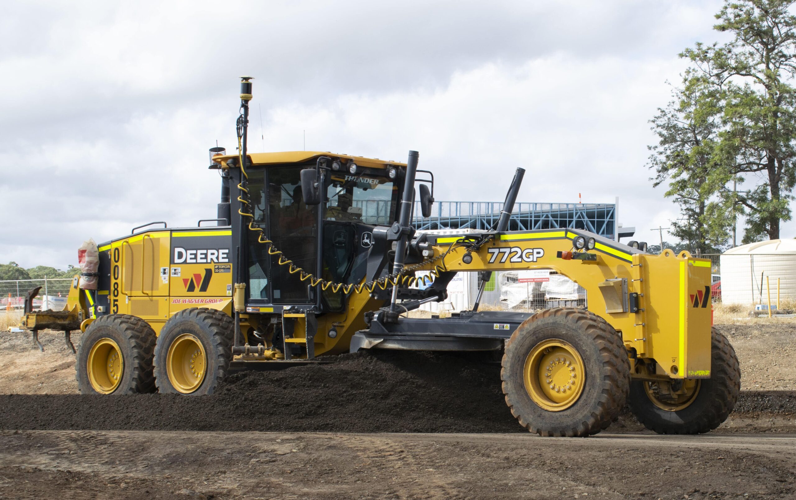
Kobus checked three different areas of road and found that they were within 5mm accuracy – well within the tolerance range.
The benefits of this are that they don’t have to have someone manually checking levels (saving time), and they don’t have to backfill to adjust our depths, which of course, saves money for us and our client.
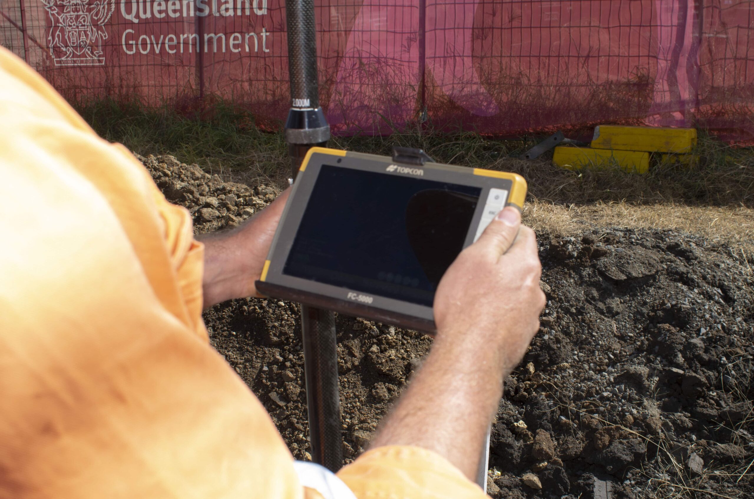
Real-time feedback means there are no interruptions to check the grade.
The pipe-layers are using a hand-held GR5 Rover survey instrument for accurate trench stake-out work. This means they don’t need to employ a surveyor to measure from boundaries.
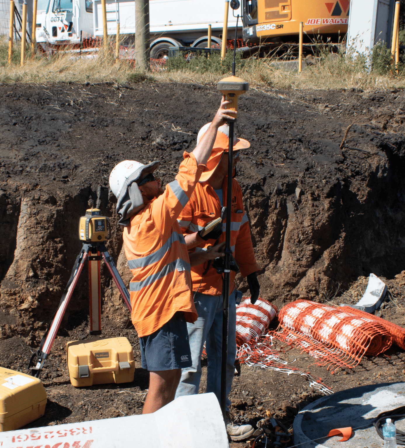
The system gives pipe-layers very accurate start and end position alignments for each pipeline allowing them to perfectly lay the pipes on the design alignments. On large drainage jobs, seeing the long straight lines of pipe side by side is very satisfying.
 Copyright 2020 All rights reserved.